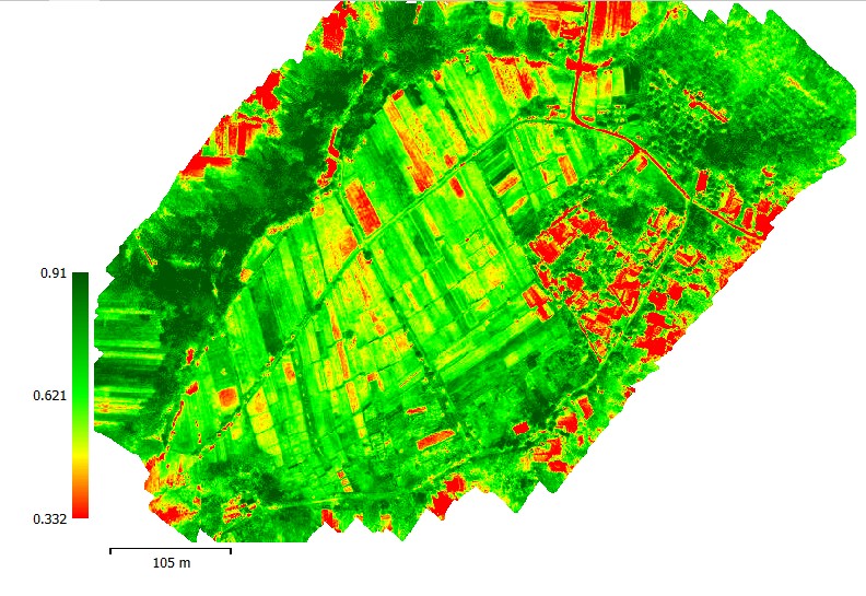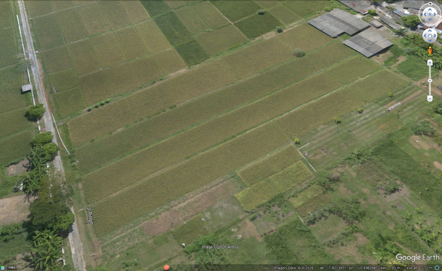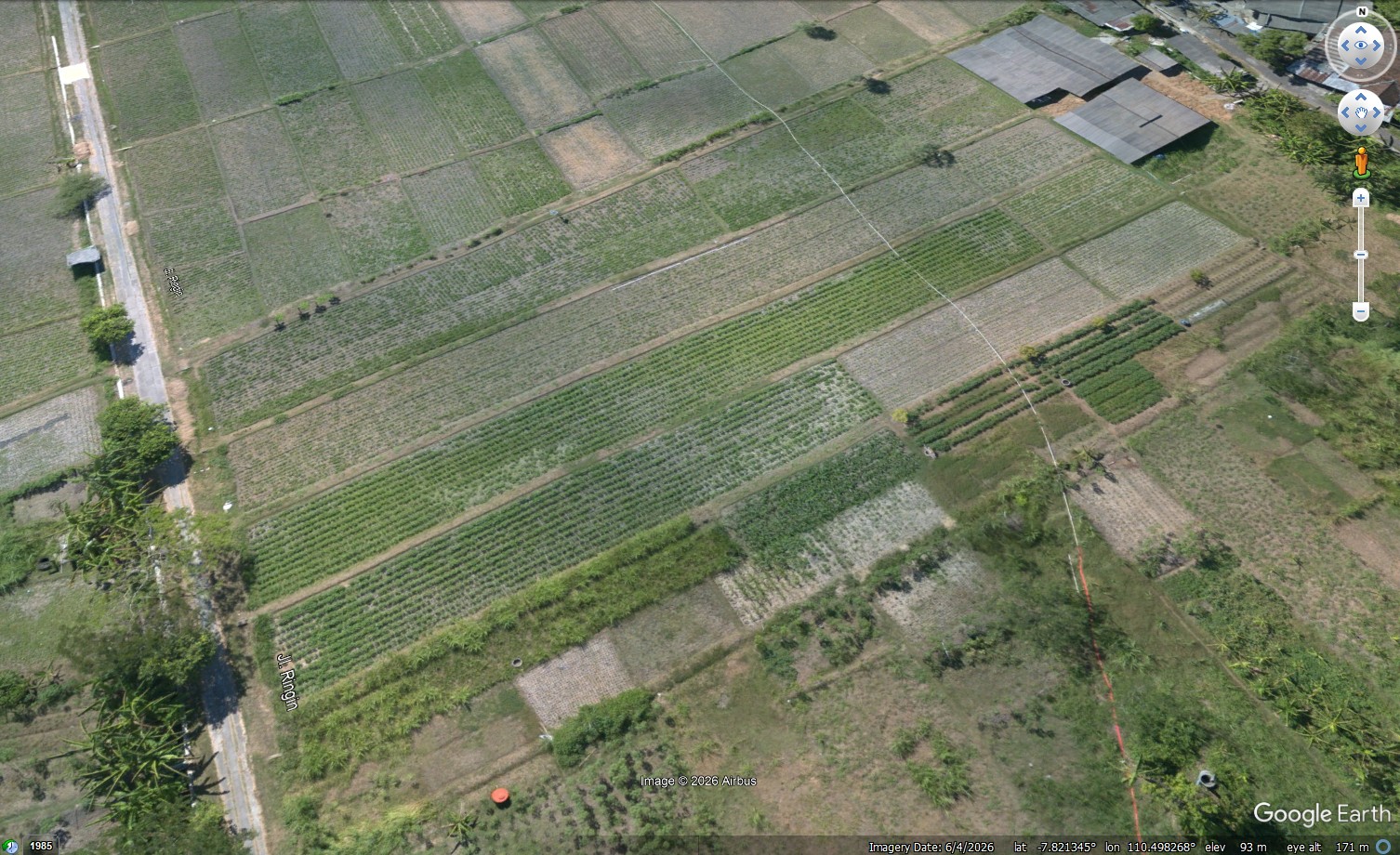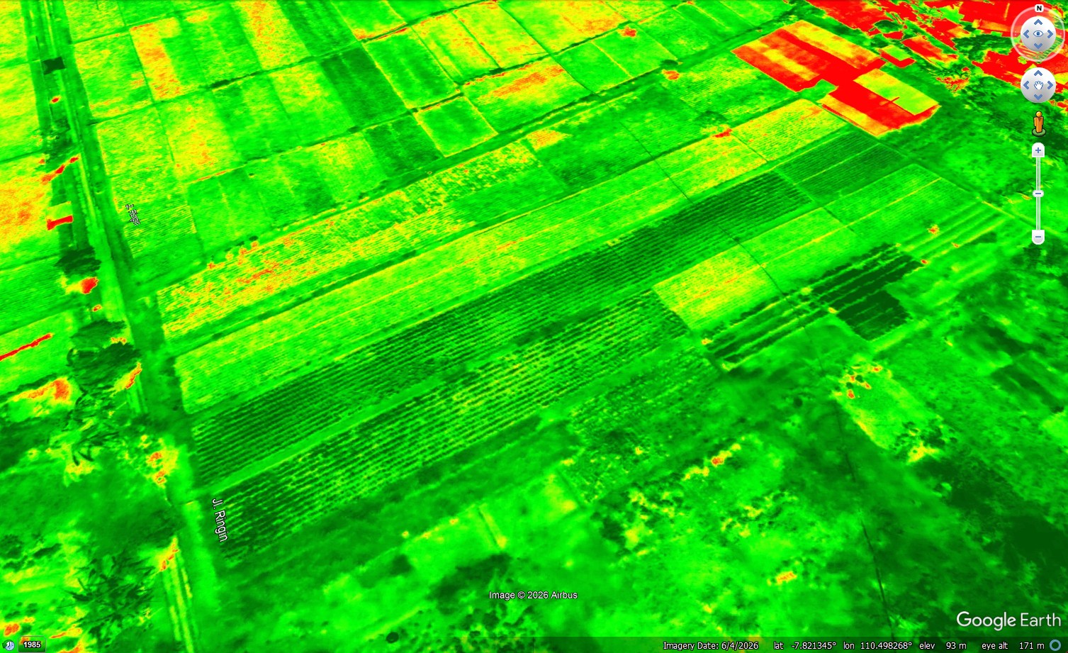
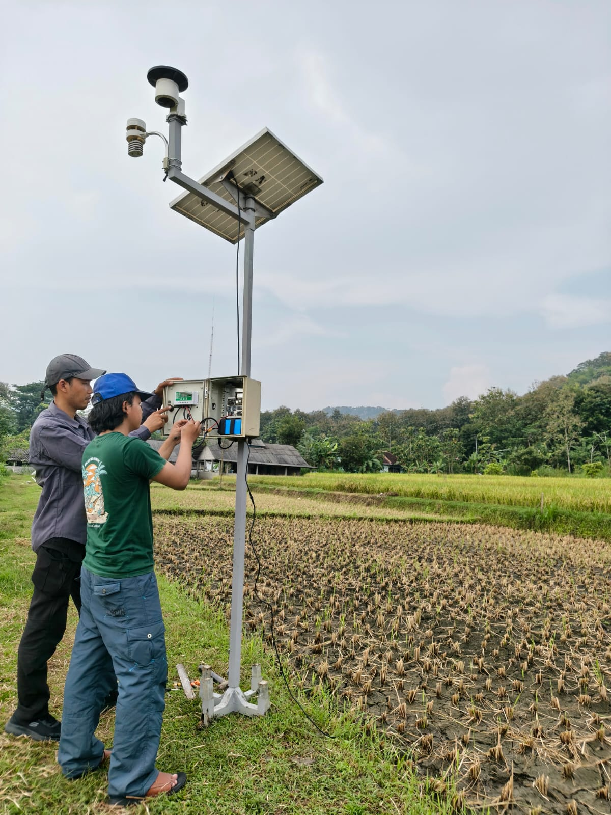
INAERO, through AeroAgri, supports SAEKEDELAI with automatic weather monitoring, spraying drones, and drone-based field and NDVI mapping. This scope of support is confirmed by INAERO.
Field observations supporting crop management
- Automatic Weather Station (AWS): recording weather conditions at cultivation sites.
- Spraying drones: supporting spraying work according to agricultural requirements.
- Field and NDVI mapping: spatial information and vegetation-index variations to help prioritise field inspections.
Supporting the local soybean ecosystem
UGM describes SAEKEDELAI as an ecosystem connecting seeds, farmer support, technology and market access. The SAEKEDELAI platform also describes climate monitoring and drones within its cultivation activities.
Agriculture Minister visits UGM
On 15 October 2026, Agriculture Minister Andi Amran Sulaiman visited PIAT UGM and praised UGM’s agricultural research, including local soybeans. The ministry outlined potential expansion to 5,000 hectares in Grobogan, subject to implementation readiness. The yield target above three tonnes per hectare still required assessment through harvest.
The minister’s appreciation concerned UGM’s research. AeroAgri’s technology contribution described here is confirmed by INAERO.