 01
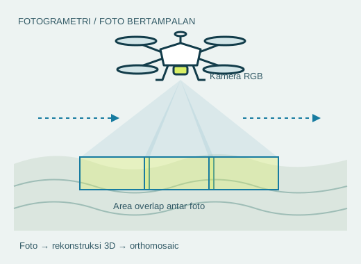
01Mapping & surveying
Platforms for cameras or LiDAR, adapted to the work area and data collection requirements.
MAPPING · LiDAR Discuss your project
 DRONE ENGINEERING · YOGYAKARTA, INDONESIA
Designed and manufactured in Bantul, Yogyakarta. We adapt drone platforms, sensors, and systems to your operational needs, from mapping to agriculture.
Tell us what you need Explore our solutions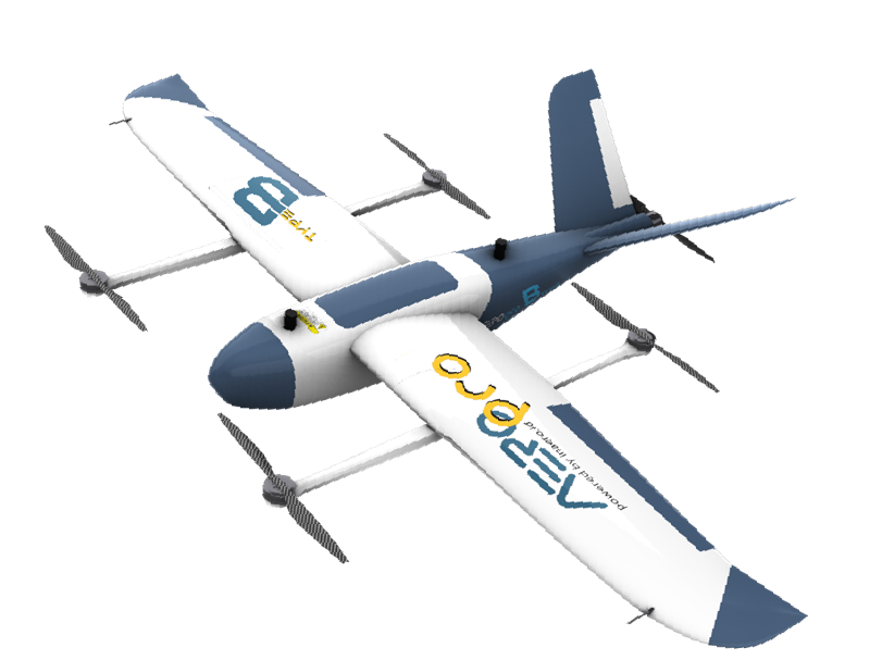
From platform selection to system customisation,
it all starts with the task that needs to be done.
01 / SOLUTIONS
Field requirements determine the configuration. We help you explore suitable drone systems for the following applications.
01Platforms for cameras or LiDAR, adapted to the work area and data collection requirements.
MAPPING · LiDAR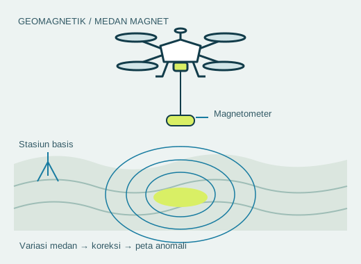 02
02Discuss sensor integration for drone-based magnetic, radiometric, and electromagnetic surveys.
SENSORS · EXPLORATION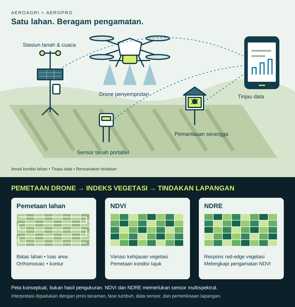 03
03Drones and IoT devices for field monitoring and agricultural operations.
MONITORING · AEROagri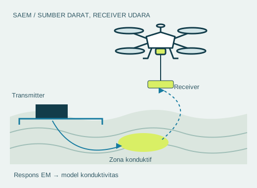 04
04Need something beyond a standard configuration? Start with the mission goals, then assess the platform and payload with us.
PAYLOAD · CUSTOMISATION
02 / AEROPRO
Use our product range as a starting point. The final configuration follows your payload, operating area, and project needs.
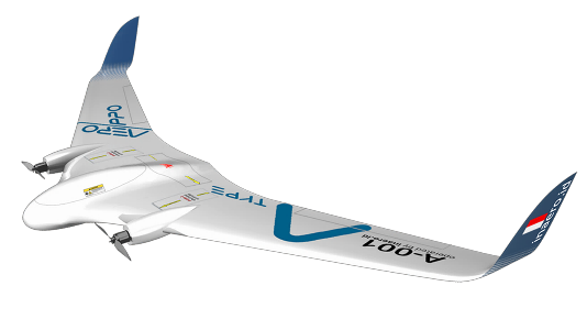
A mapping and observation platform with detachable wings for easier transport.
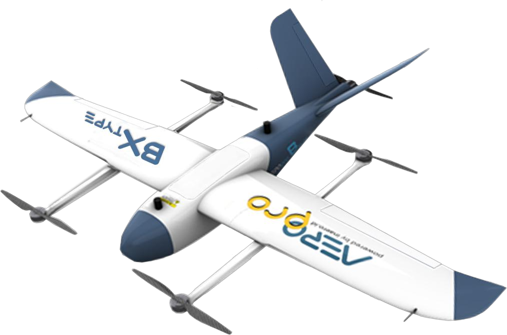
Fuselage space for sensor integration. The BX variant adds vertical take-off and landing capability.
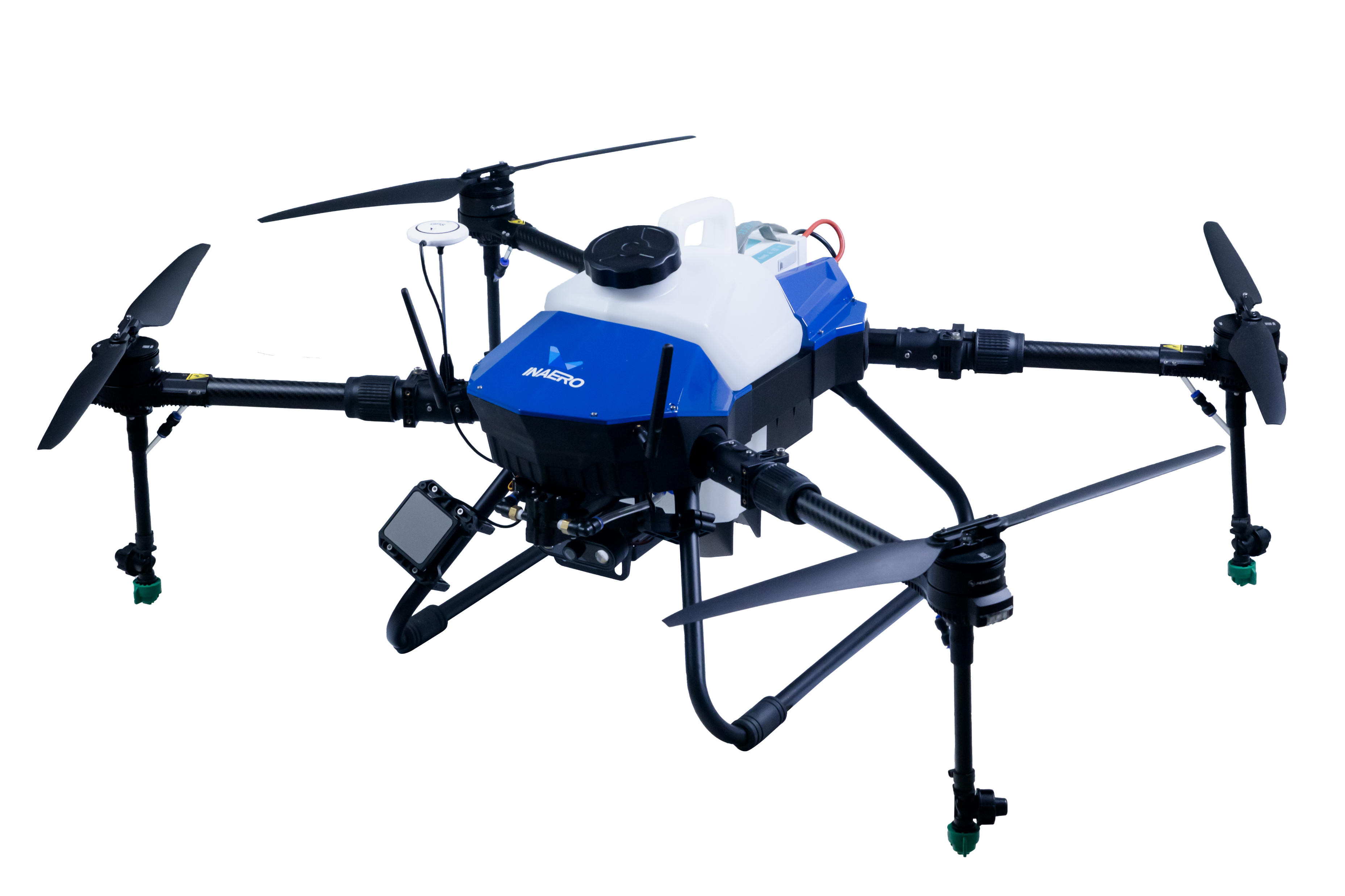
Agricultural spraying drones with a choice of tank capacities to match the scale of the work.
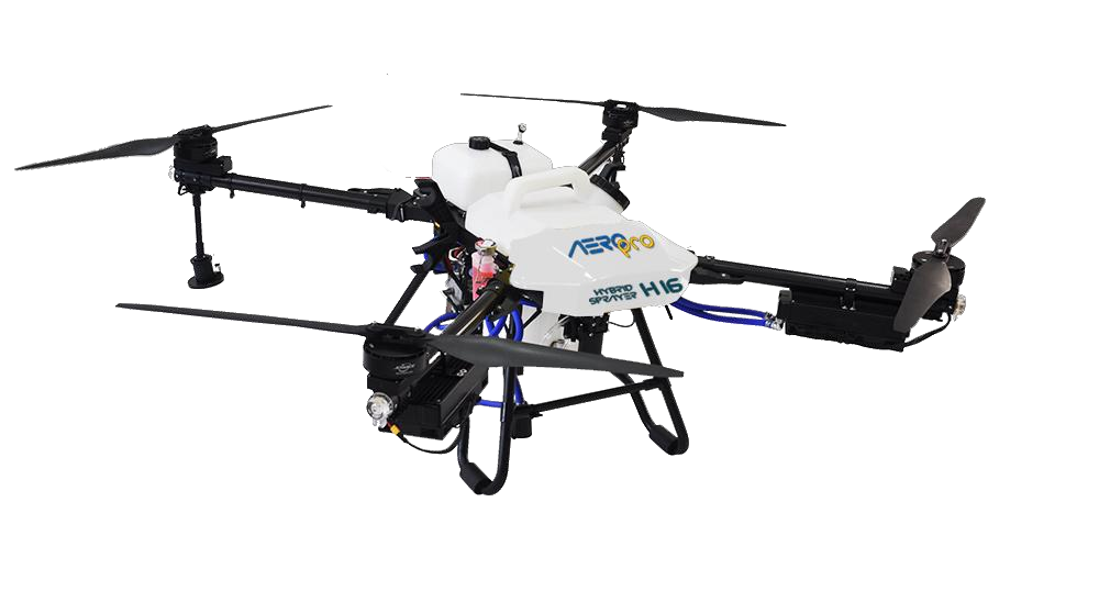
Combines an internal combustion engine and electric propulsion for longer operations.
Also available: AeroPro F Type. A foam and fibreglass platform for mapping and observation.
Final specifications and performance depend on configuration, payload, and operating conditions. Contact our team for technical data relevant to your project.
Discuss configuration ↗AEROAGRI / PRECISION AGRICULTURE
Portable sensors and fixed stations help monitor soil conditions, weather, and pest populations. Combine the data with drone observations to understand your fields.
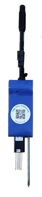
Measure temperature, moisture, pH, electrical conductivity, and soil nutrient parameters. Access data on an Android device without an internet connection.
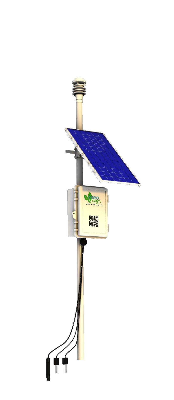
A solar-powered station for monitoring soil conditions and weather parameters such as rainfall, temperature, humidity, and wind direction.
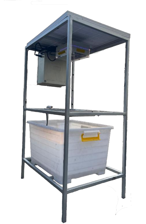
Cameras and traps for pest monitoring, with remote access from a mobile device or computer.
SERVICES & SUPPORT
Support tailored to individual projects and long-term use.
Platform adaptation and system integration based on specific customer requirements.
Drone and agricultural sensor rental for short- and long-term needs.
Pilot services and training programmes to support drone operations.
Spare parts, maintenance, and support for further modifications.
03 / APPROACH
What do you want to achieve? Where will the drone operate? What data or tasks are required?
Evaluate platform and payload options and adaptations against project requirements and constraints.
Discuss the scope, acceptance criteria, schedule, and support required before implementation.
04 / ABOUT INAERO
Established in 2018, INAERO operates under PT Elevasi Teknologi Aeronautika Nusantara. Our drones are manufactured in Bantul, Yogyakarta.
Founded by Christy Aryani Sunaryo and Rake Silverrian, INAERO combines management and aeronautical engineering experience. Through AeroPro, AeroAgri, and AeroFun, we work with customers to build solutions for their needs.
INAERO describes a collaboration that began in 2022 through the Research-Based Startup Entrepreneur Programme.
Read about the collaborationSTART A CONVERSATION
Tell us about your application, operating location, payload, and timeline. The INAERO team will help you plan the next steps.
Yogyakarta,
Indonesia.