FIELD MEASUREMENTS
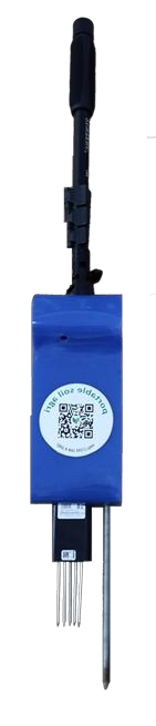
Portable soil sensor
Measure temperature, moisture, pH, electrical conductivity, and soil nutrient parameters. Access data on an Android device without an internet connection.
 Discuss your farm ↗
INAERO / SMART AGRICULTURE
AeroAgri helps monitor soil, weather, and pests. Support your field observations with AeroPro agricultural drones for your operational needs.
Explore products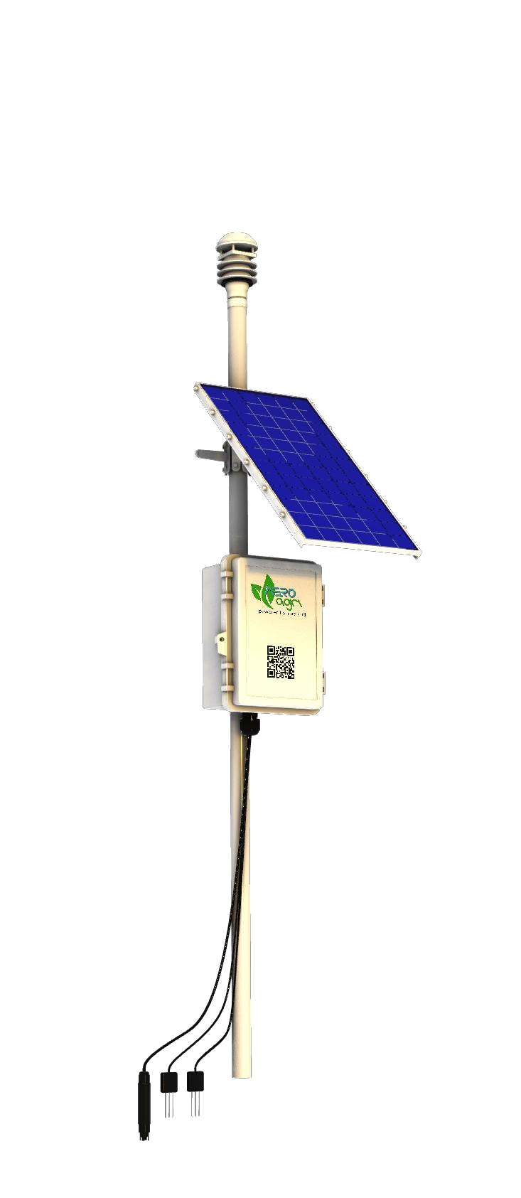
ECOSYSTEM / SMART FARMING
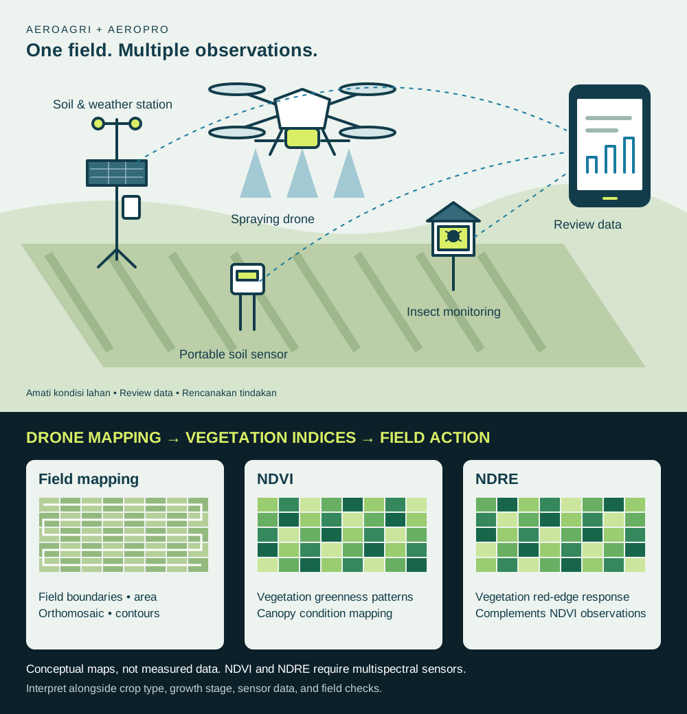
Soil measurements, weather observations, and insect monitoring help farm managers plan their work. Drones support spraying tasks with the selected configuration.
AEROAGRI / PRECISION AGRICULTURE
Portable sensors and fixed stations help monitor soil conditions, weather, and pest populations. Combine the data with drone observations to understand your fields.
Measure temperature, moisture, pH, electrical conductivity, and soil nutrient parameters. Access data on an Android device without an internet connection.
A solar-powered station for monitoring soil conditions and weather parameters such as rainfall, temperature, humidity, and wind direction.
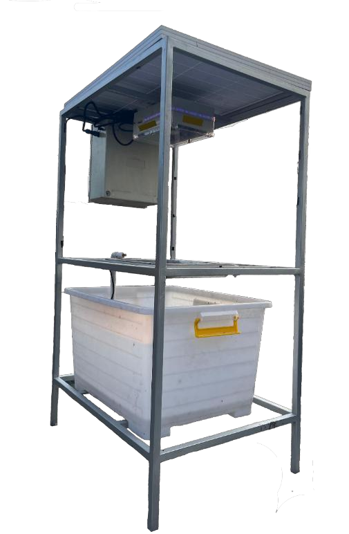
Cameras and traps for pest monitoring, with remote access from a mobile device or computer.
AEROAGRI / FIELD INTELLIGENCE
Our agriculture presentation describes a connected workflow: map the field, observe weather and soil, monitor crop conditions, and use the resulting information to plan practical work.
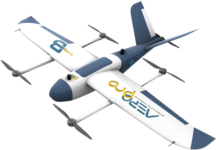
High-resolution mapping supports area measurement, crop identification, plant vigour analysis, terrain context, irrigation planning, and more precise fertiliser management.
NDVI · NDRE · CIR · OSAVI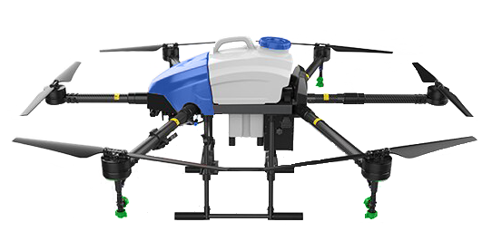
Spraying drones help cover agricultural areas efficiently while reducing operator exposure to chemicals. Final equipment and mission settings follow the field requirements.
SPRAYER · MISSION PLANNING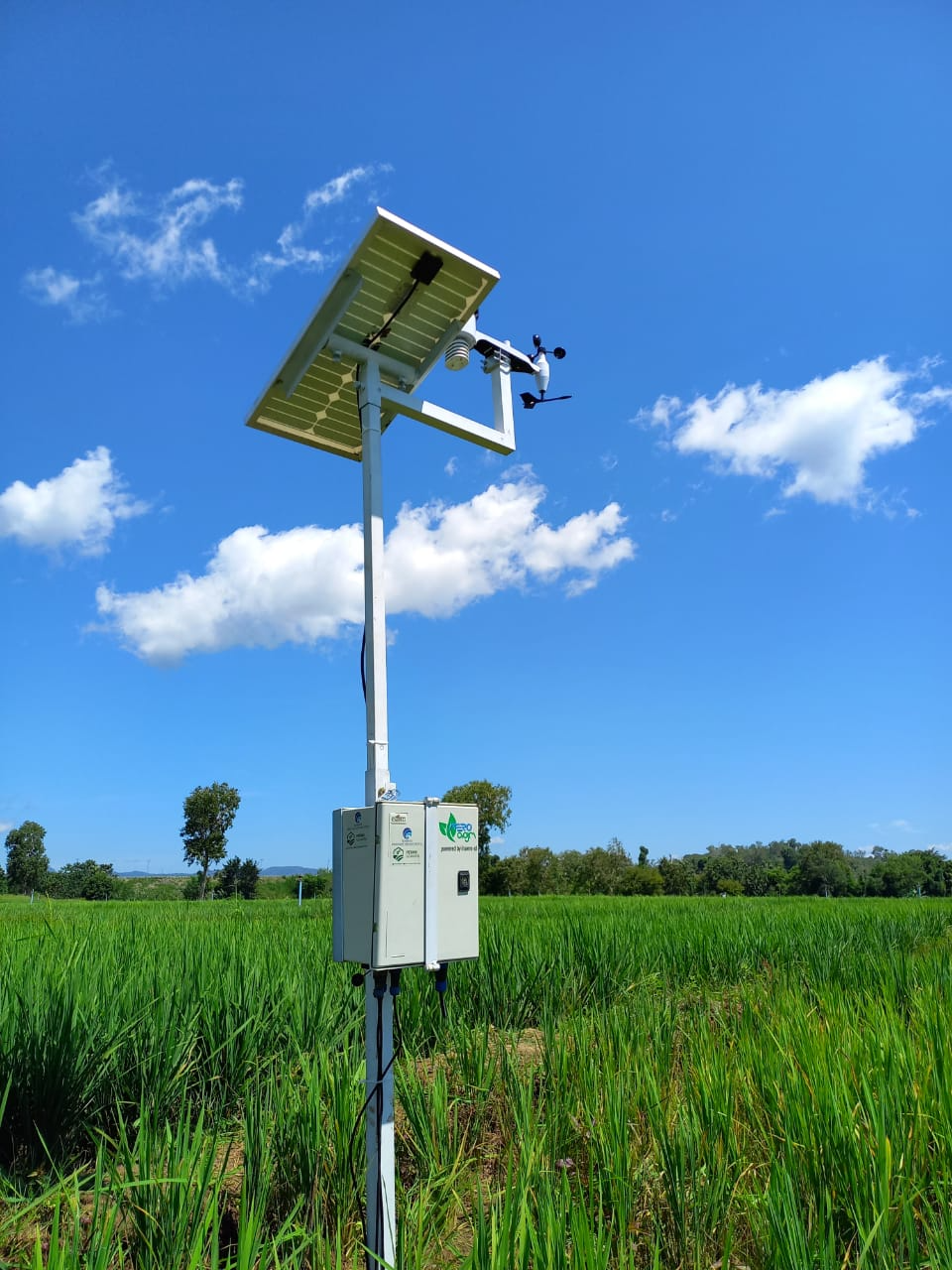
Weather stations and soil sensors can provide temperature, humidity, rainfall, wind, sunlight, soil moisture, pH, EC, and nutrient data for field management.
WEATHER · SOIL · IOT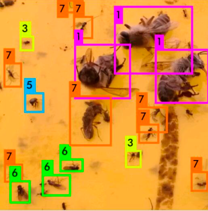
The presentation records research with BRIN Applied Zoology on insect traps using image analysis to recognise species and growth phases, then support counting over time.
AI · IMAGE ANALYSIS · PESTSAEROPRO / AGRICULTURAL DRONES
Choose a spraying platform to suit the task. Discuss capacity and configuration with the INAERO team based on operating conditions.
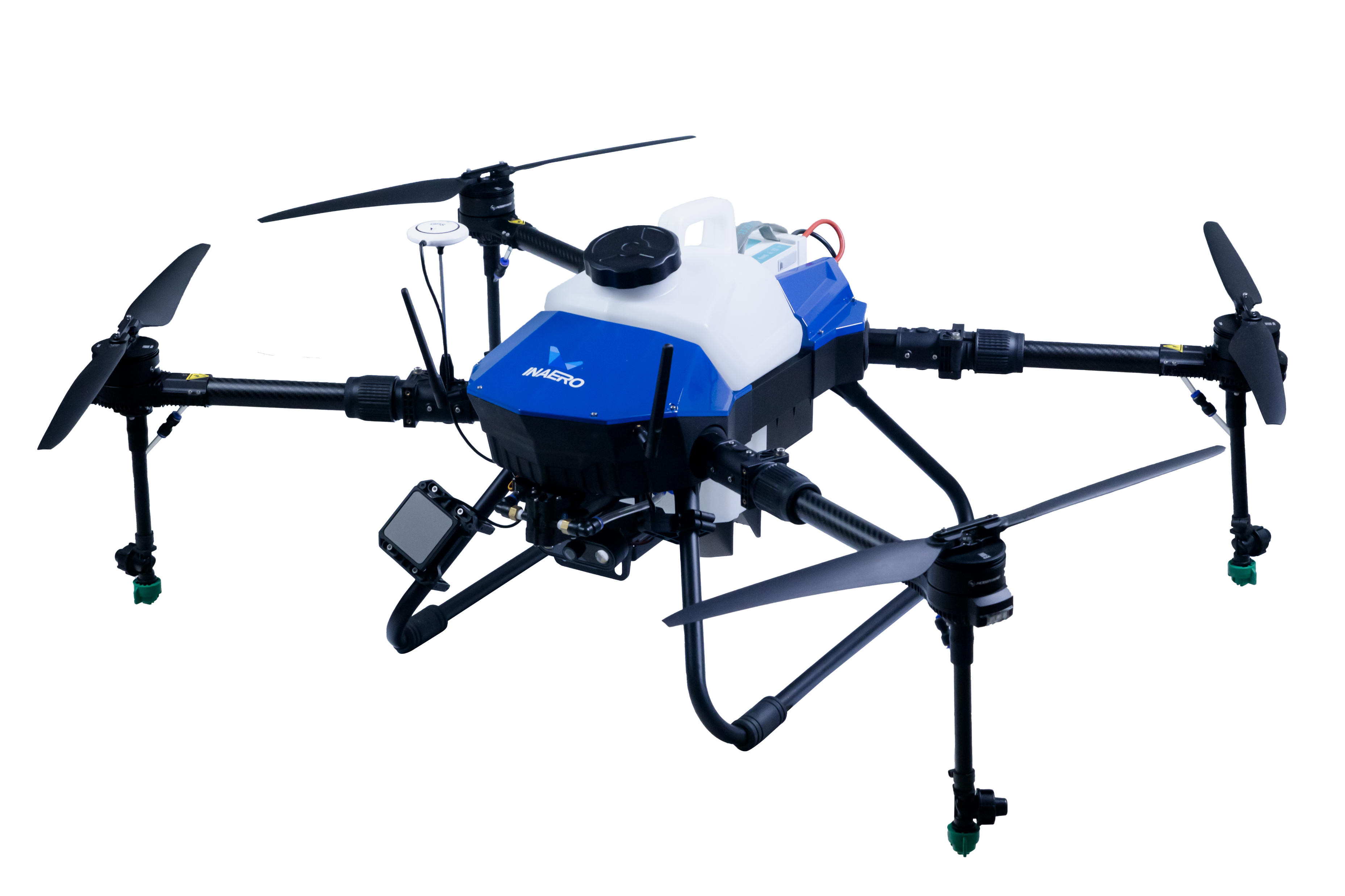
Agricultural spraying drones with a choice of tank capacities to match the scale of the work.
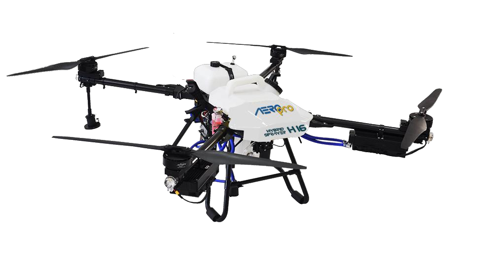
Combines an internal combustion engine and electric propulsion for longer operations.
APPROACH / SMART FARMING
Choose equipment based on the problem you want to understand, observation frequency, and how your team works in the field.
Use a portable soil sensor for measurements at observation points, or a soil and weather station for continuous monitoring.
Review sensor data and insect monitoring alongside crop conditions to identify where further field checks are needed.
Use observations to inform farm management decisions. Discuss spraying drone requirements, configuration, and operational support.
LAYANAN & DUKUNGAN
Discuss equipment purchases, drone and sensor rental, training, and maintenance with the INAERO team.
START A CONVERSATION
Tell us about your crops, field size, location, and monitoring or spraying needs. INAERO can help you choose suitable equipment and support.
Yogyakarta,
Indonesia.